Measure your rangelands to manage them
Vegetation Monitoring Tailored to Your Needs
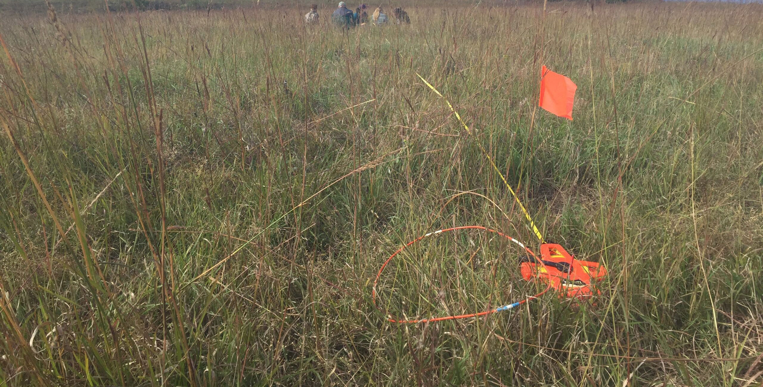
Vegetation measurements can be as simple as time-series photographs or as complex as biodiversity statistics. The key is finding the right approach for your objectives—without wasting time or resources on unnecessary complexity.
At RangeWise, we help you determine exactly what you need to meet regulatory requirements, eliminate guesswork, and generate meaningful data for informed decision-making. Our expertise ensures you get the most relevant information while also empowering you to conduct your own monitoring and assessments in the future.
Let’s make rangeland monitoring effective, efficient, and insightful.
Remote Sensing and GIS
Recent advances in satellite imagery and computing power have revolutionized rangeland management, bringing Big Data within easy reach. Today, several ready-made, rangeland-specific tools are freely available, offering unprecedented insights.
At RangeWise, we specialize in accessing and leveraging these cutting-edge technologies, transforming what was once impossible into practical, actionable solutions. Let us help you make the most of these innovations to enhance your land management strategies.


Expertise You Can Trust, Solutions You Can Use
With over 30 years of experience as a rangeland specialist for NRCS, RangeWise brings a deep network, top-tier expertise in vegetation measurement, and proficiency in remote sensing and GIS application. We don’t just provide answers—we help you discover the questions you didn’t even know to ask.
By combining cutting-edge technology with time-tested field methods, we deliver insights on forage production and utilization, rangeland health and biodiversity, soil health and carbon, as well as watershed dynamics and erosion. Whatever your rangeland management needs, we know how to find the answers you’re looking for.
